Weather radar
Track precipitation movement over Croatia and Europe in real time.
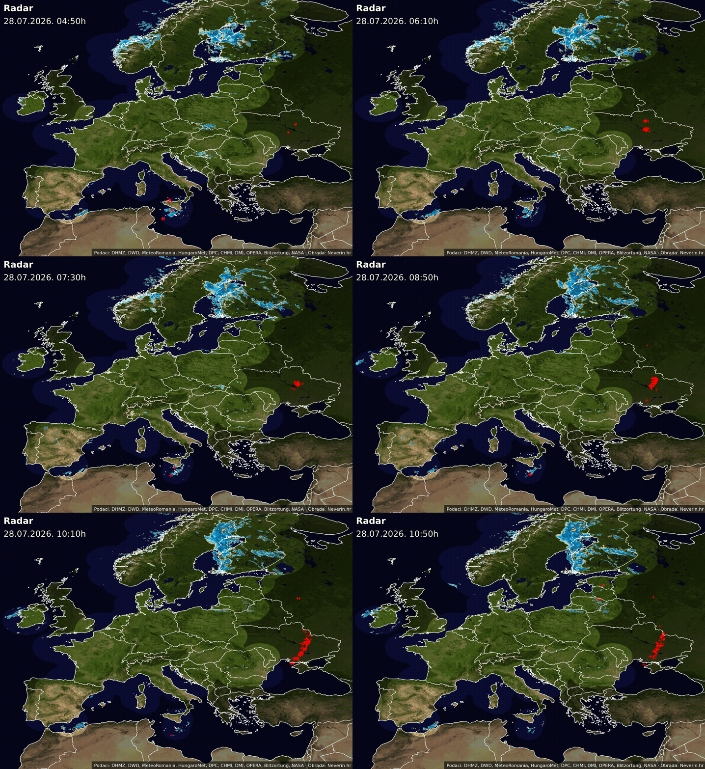
Static maps are shown. View the detailed interactive map and precipitation movement forecast.Weather radar Croatia
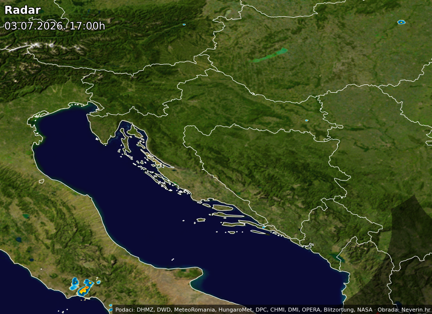
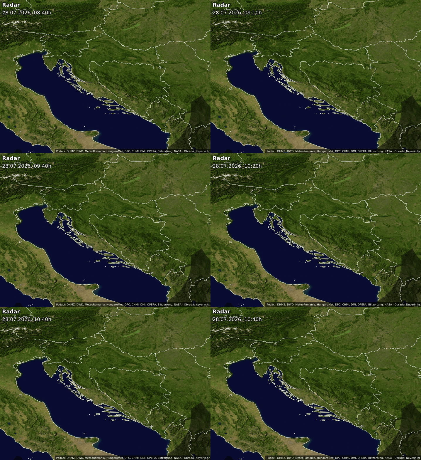
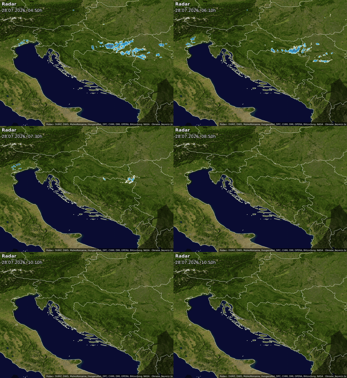
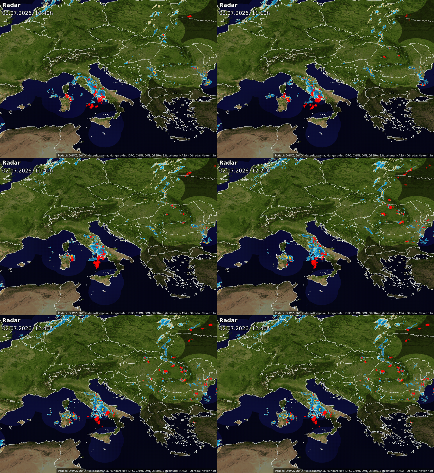
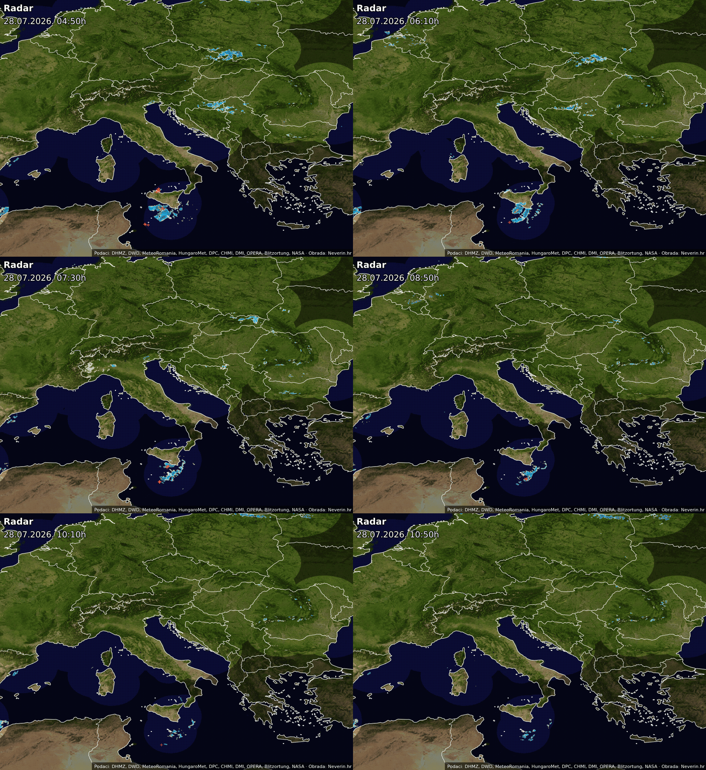
Weather radar Central Europe
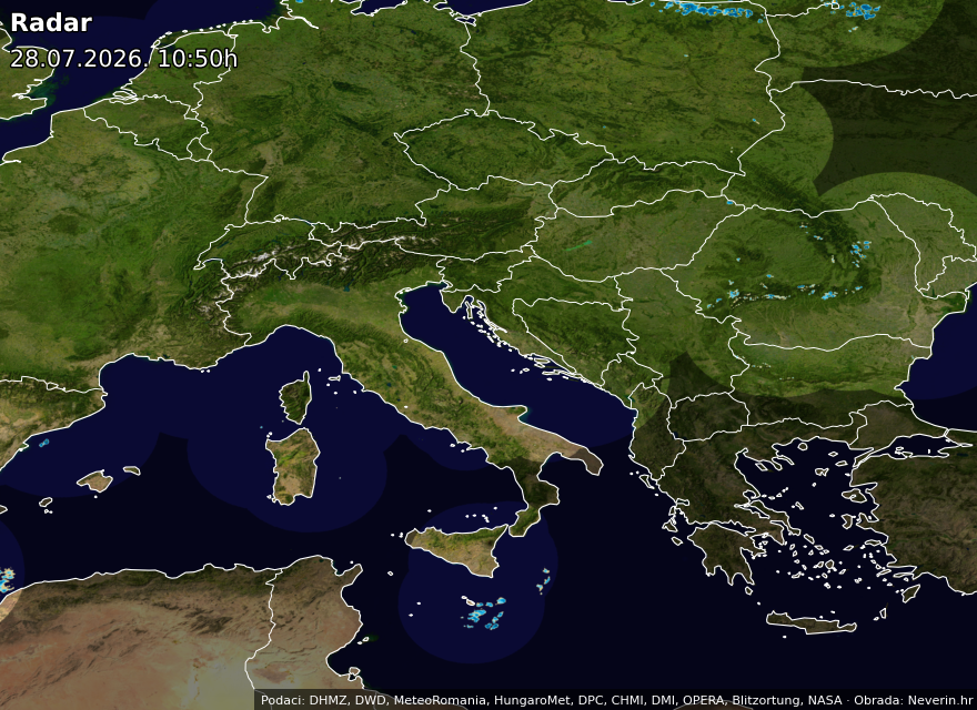
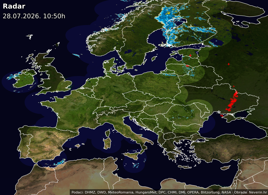
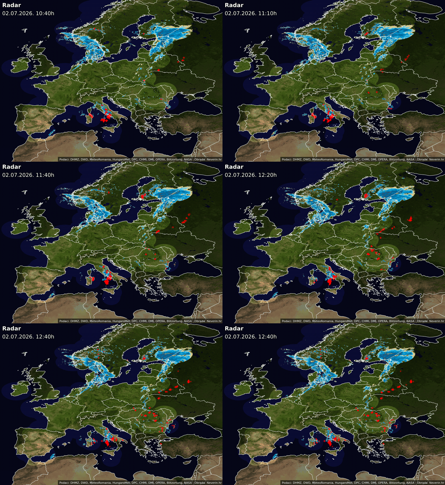
Weather radar Europe
Frequently asked questions
How often is the weather radar updated?
Static radar images are refreshed every 10 minutes, while the interactive radar on the homepage refreshes every 5 minutes.
Is there a radar forecast?
Yes. Minute-by-minute radar (precipitation) forecast is available on the Neverin homepage up to 4 hours ahead.
What do the radar colors mean?
Colors indicate precipitation intensity. Blue represents light rain, yellow moderate, orange heavy rain, red a downpour, and magenta marks an intense downpour that may be accompanied by hail.
Where does the data come from?
Images are built from publicly available radar data published by national meteorological services, including the Croatian Meteorological and Hydrological Service (DHMZ). Neverin collects and processes more than 100 source radar images that serve as the basis for the radar composite and radar forecast. Lightning and thunderstorm activity is sourced from the Blitzortung network.
Why are some areas not covered by radar?
Weather radars have a limited range and do not cover all areas evenly. Uncovered areas are supplemented by images from neighboring radars when possible. Areas not covered by radar are shaded in gray.
The data shown is for informational purposes. Although the images are processed from reliable sources, brief deviations may occasionally occur due to technical limitations of the radar or data processing.