Satellite images
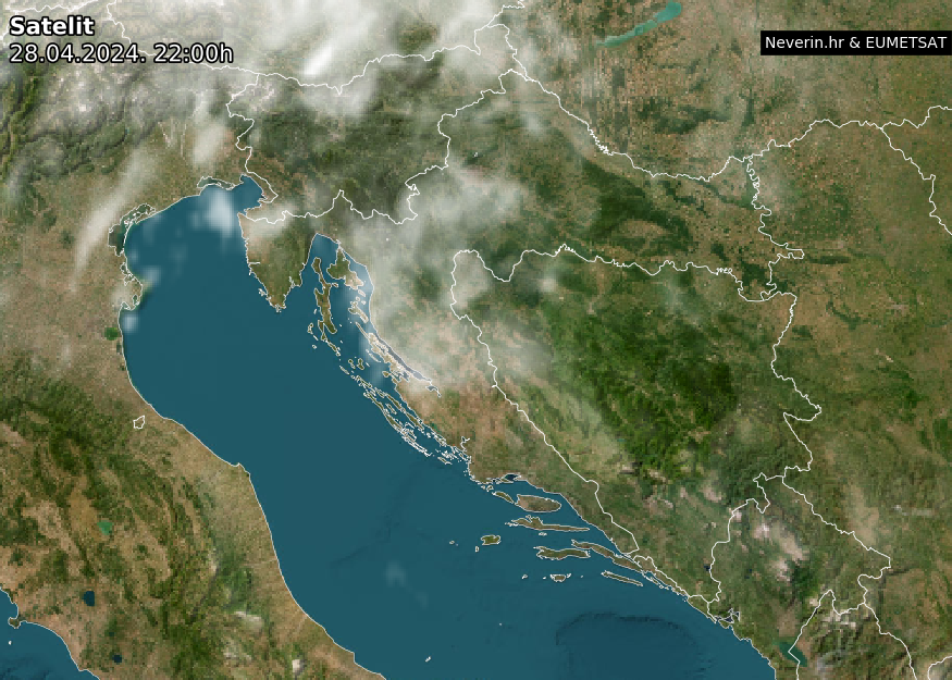
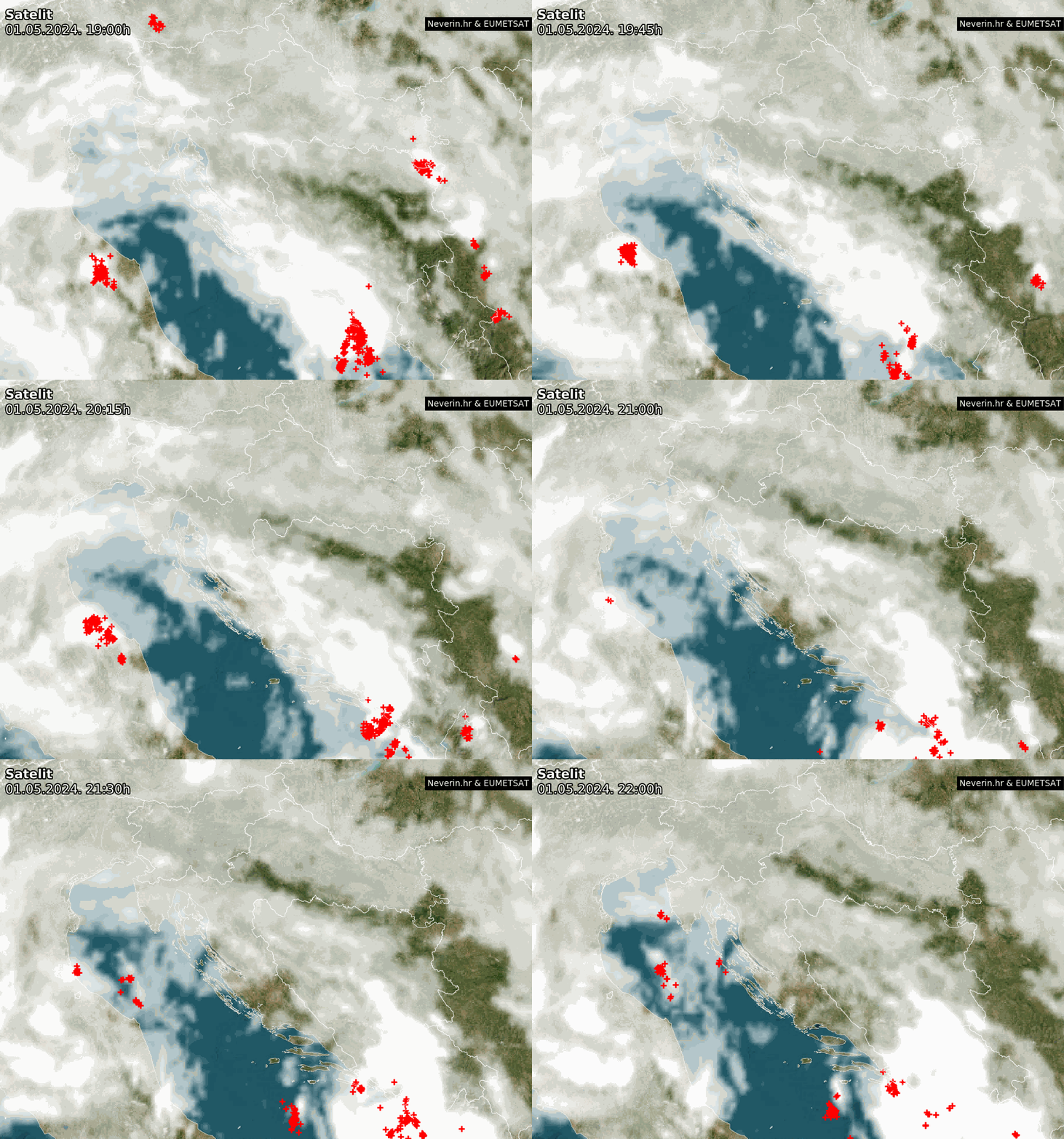
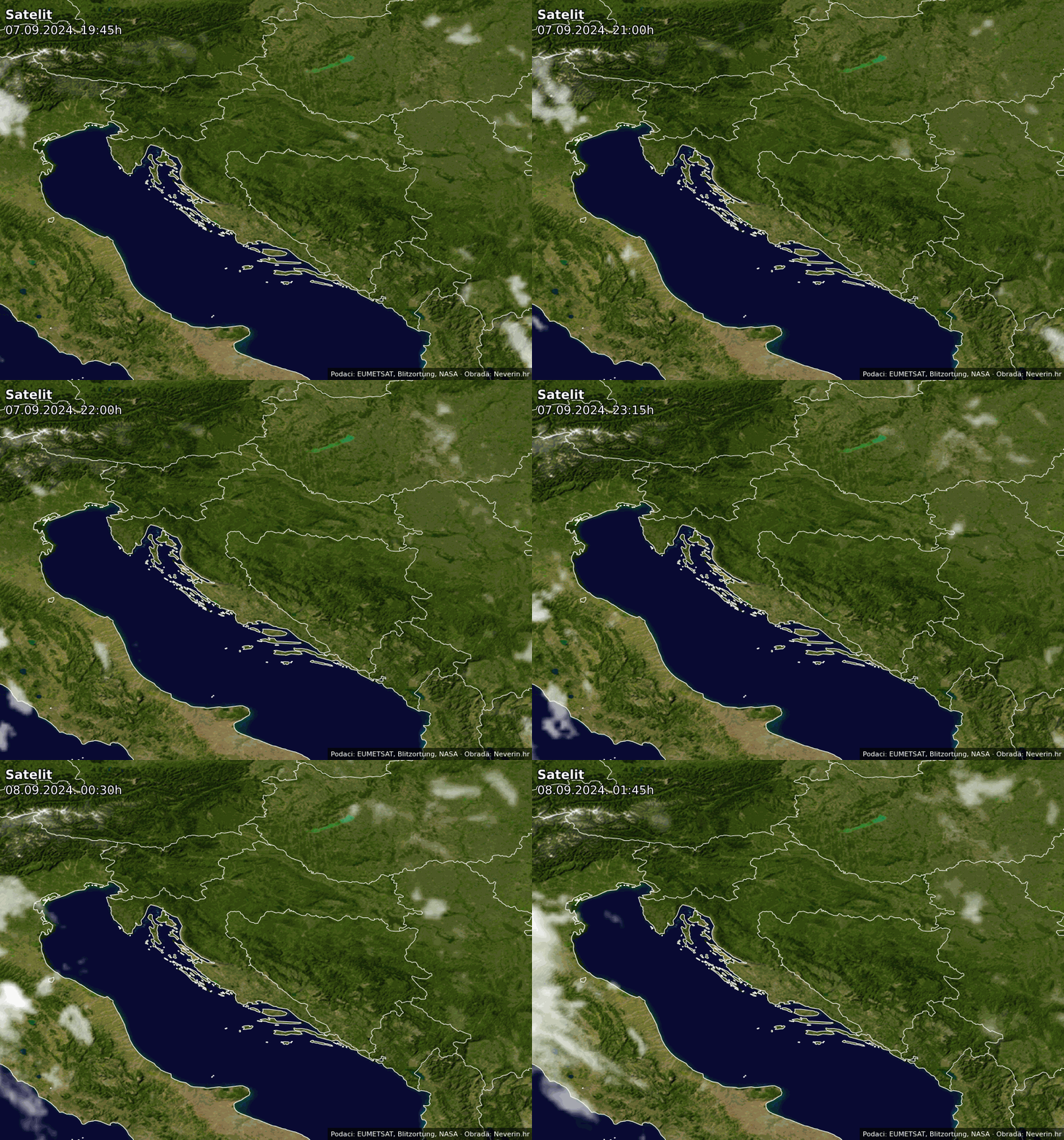
Satellite images of clouds for Croatia and Europe. Images are updated in real time.
Satellite image Croatia
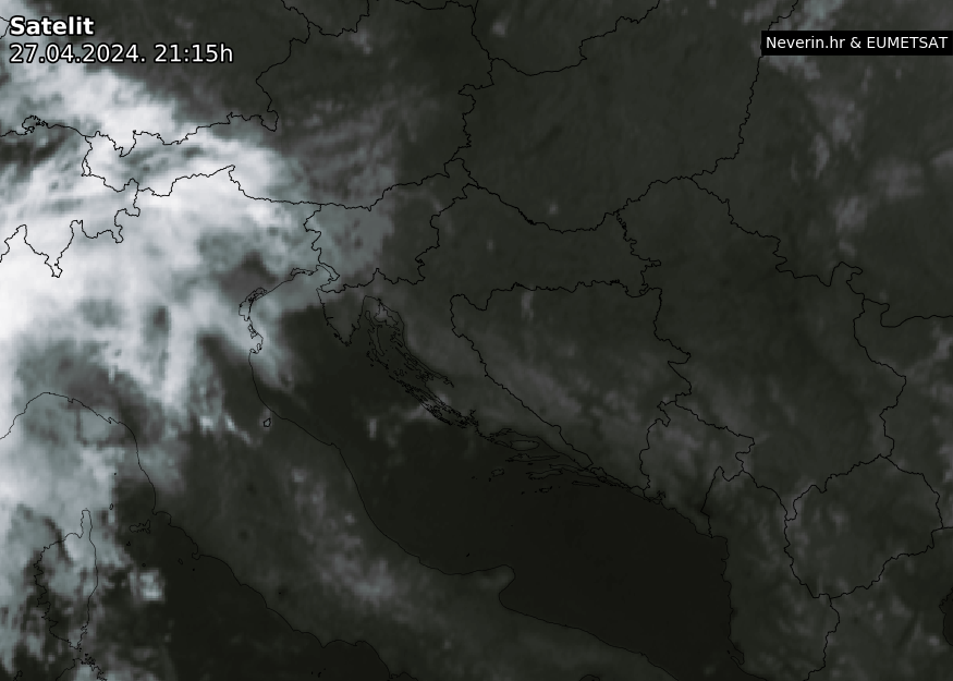
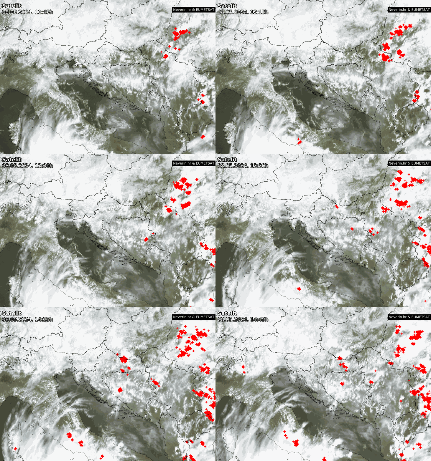
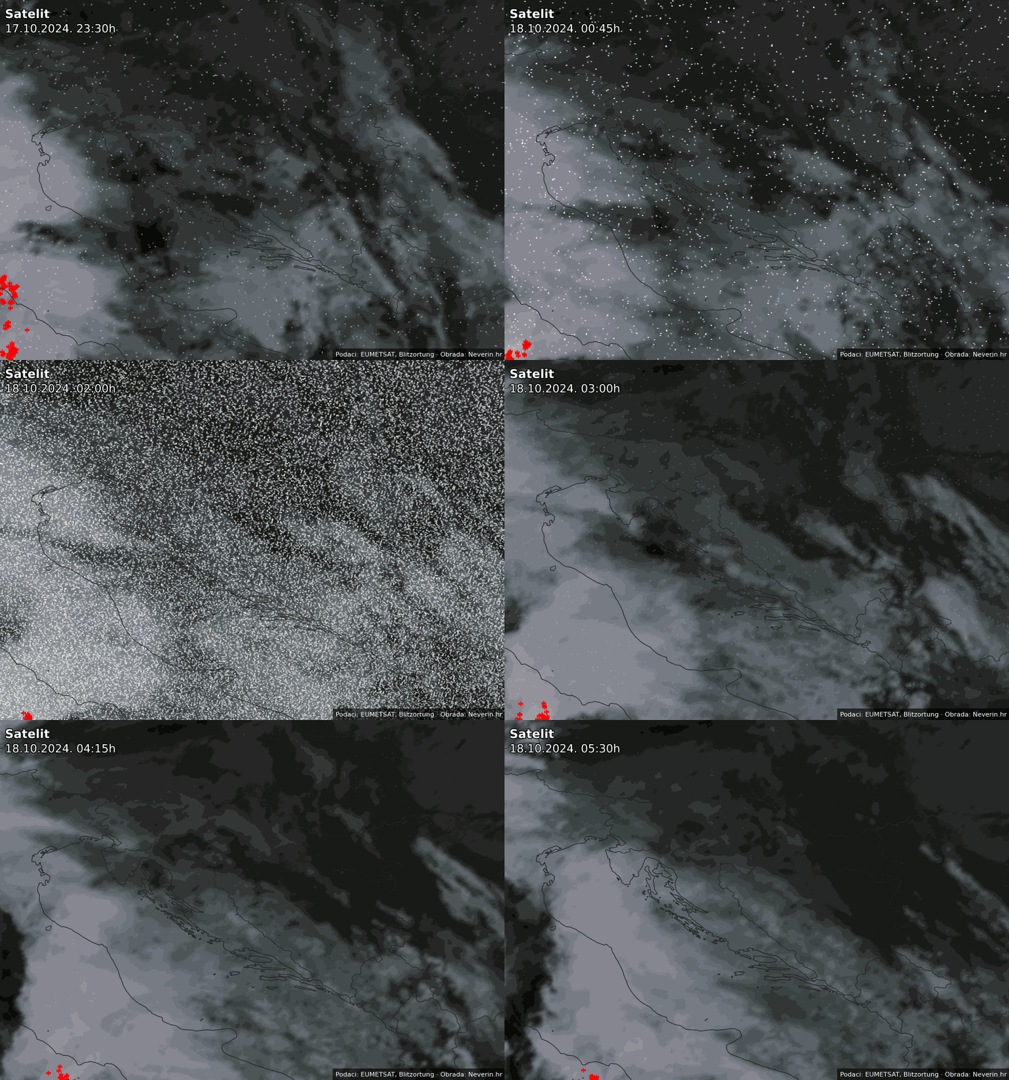
Infrared image
Satellite image Europe
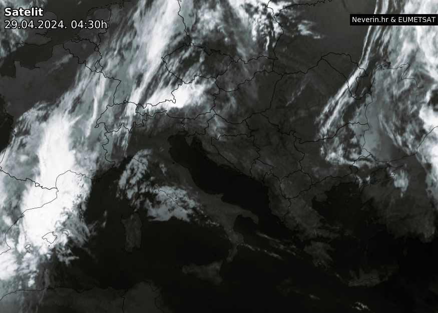
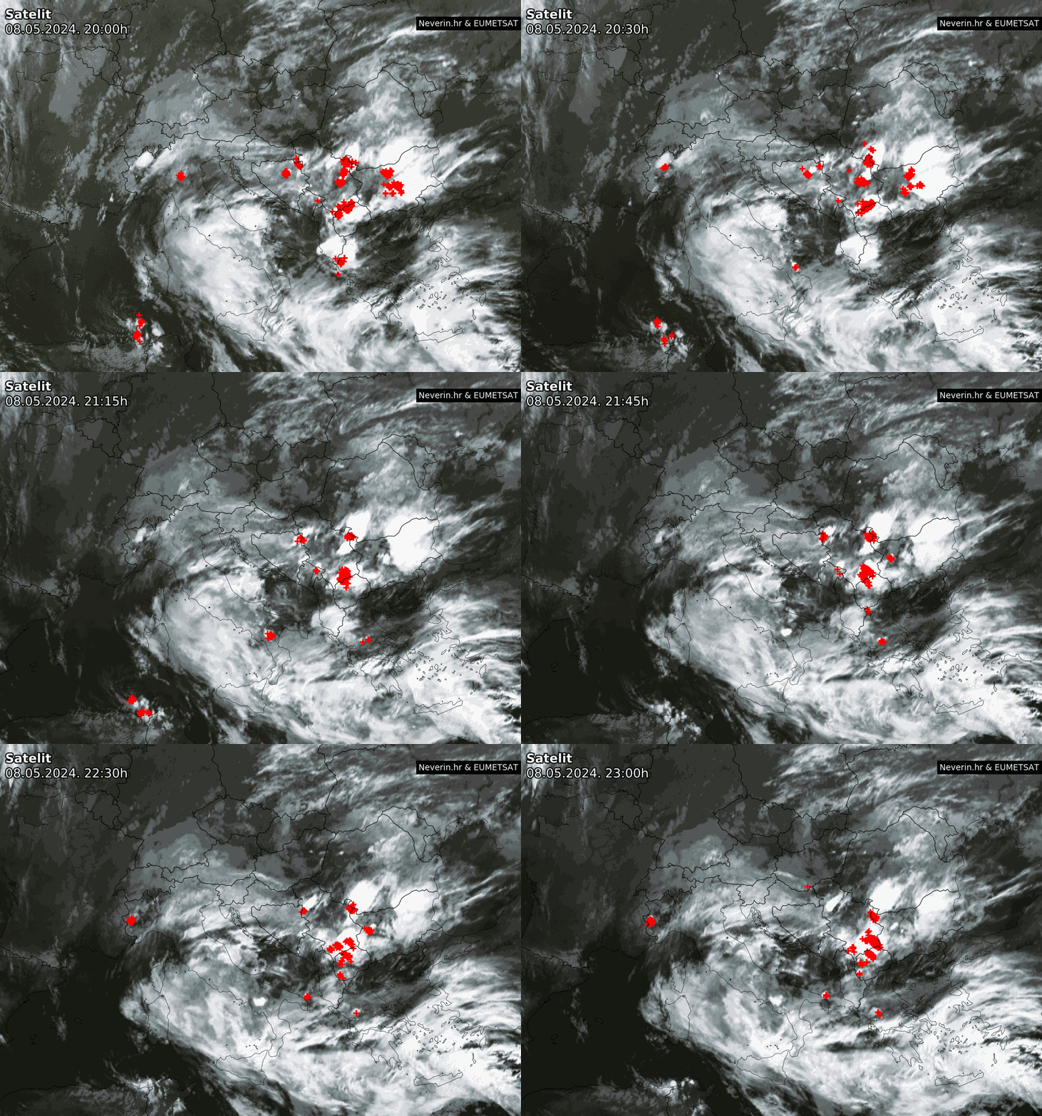
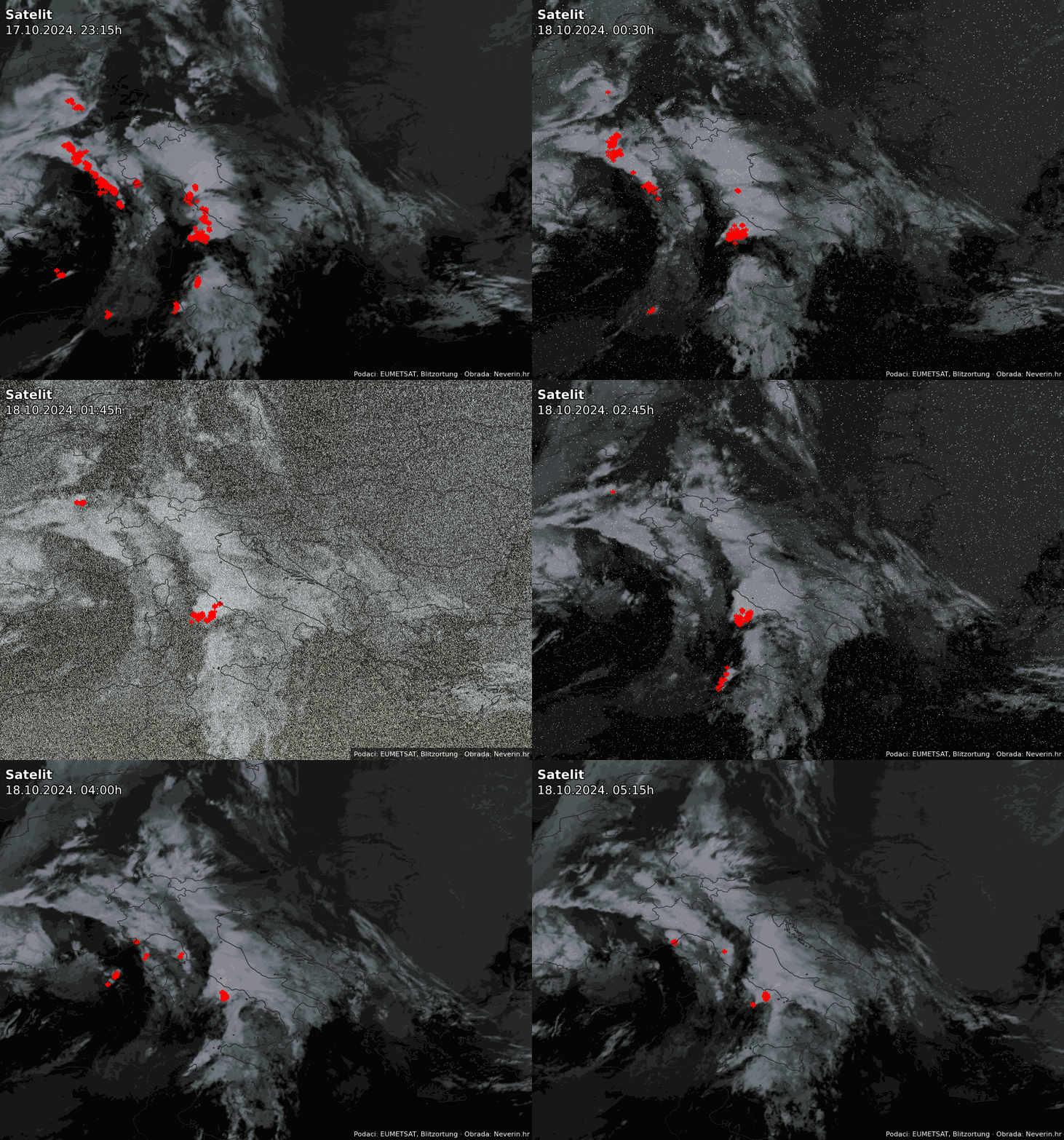
Infrared image
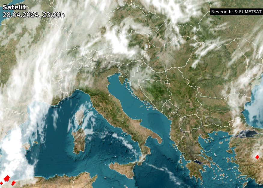
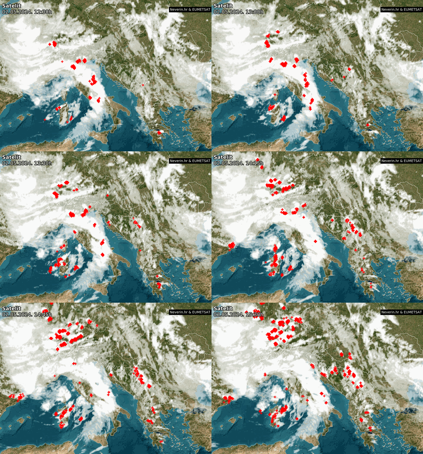
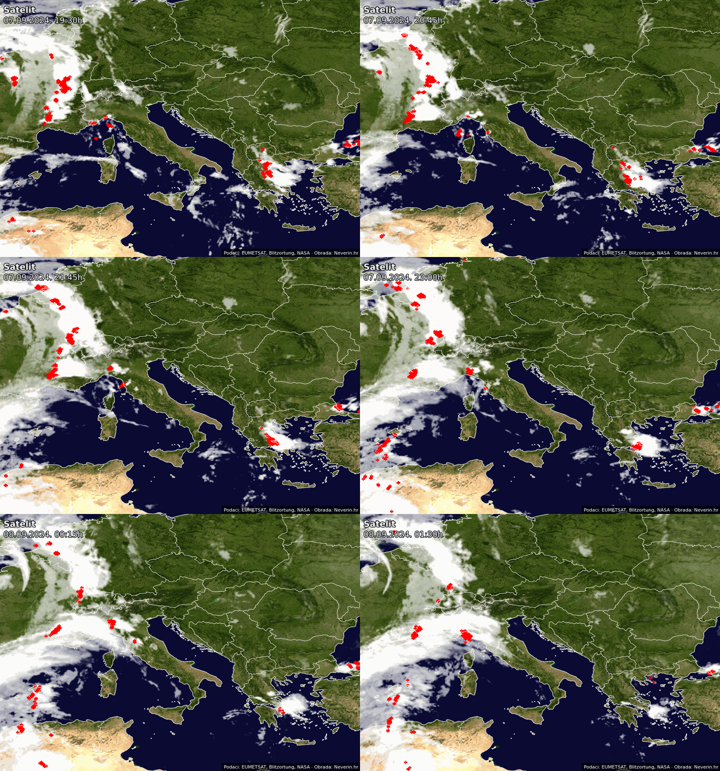
Satellite images are provided by EUMETSAT with update interval every 15 minutes. The animation shows the movement of the clouds in the last 3 hours. Thunderstorm activity (lightning) is additionally plotted on the maps. Satellite images of the cloud are available in the visible and infrared spectrum.

